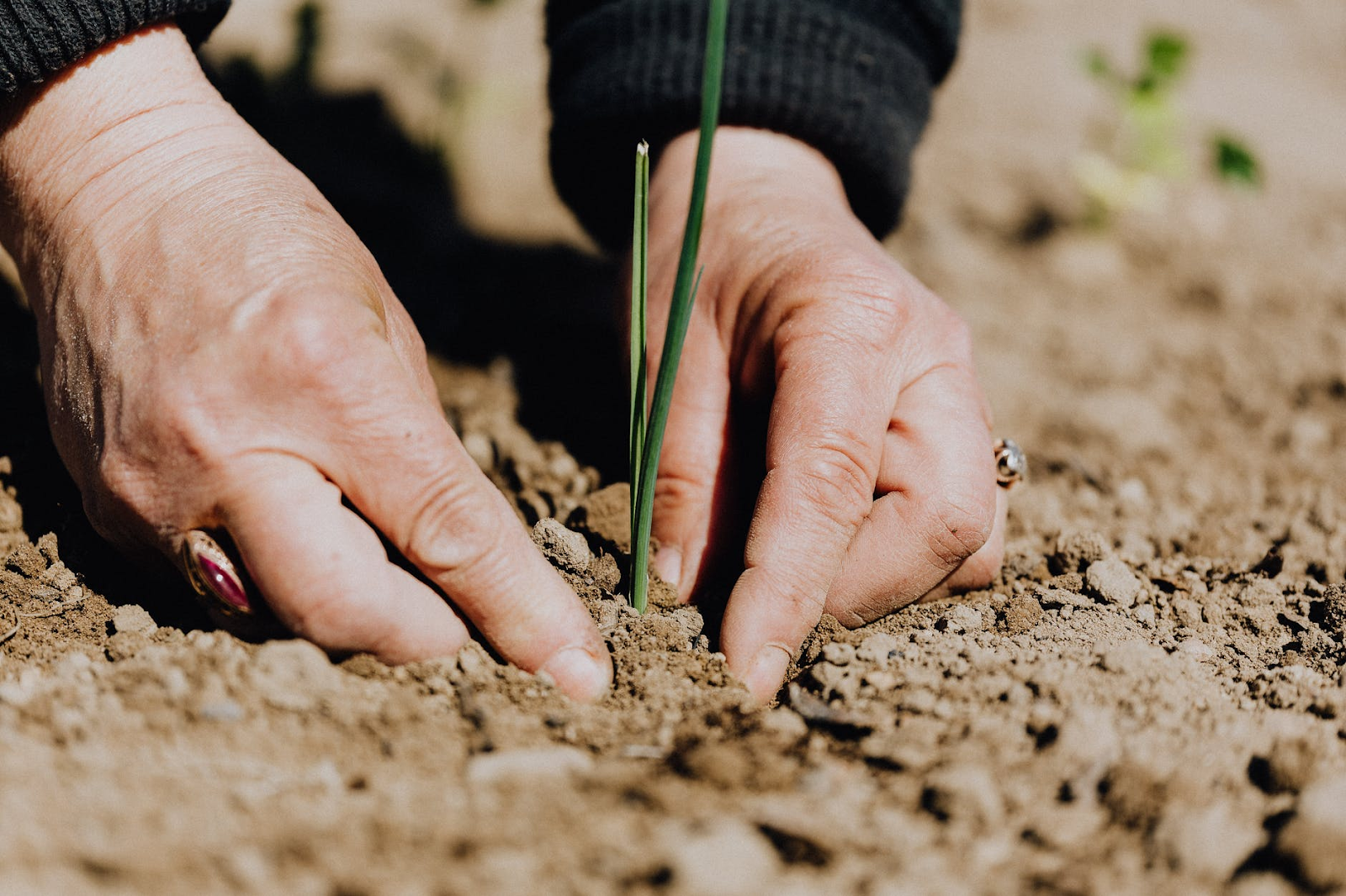
It is already known that agriculture forms the basis of the world’s food supply. Climate changes, weather extremes, water availability, and soil conditions can be expensive challenges for farmers and the overall food security of the Earth’s populace.
In such cases, the CubeSat data available is of great value to the farmers, food manufacturers, agronomists, and agricultural policy-makers who wish to enhance crop production and the resultant profitability.
These satellites with CubeSat cameras provide essential crop development, drought, snow cover, and soil monitoring, apart from earth observation.
What Is Satellite Imagery Data?
Before we dive into what is CubeSat camera is and its uses in agriculture, let us first understand everything there is about satellite imagery data.
Not all satellites provide the same kind of image data.
Most companies operate satellites for various purposes, and the data is provided at different time scales and spatial resolutions.
Since the data is a compilation of millions of pixels, a single pixel can cover 10sqmt, 50sqmt, or even more than that. As technology keeps improving, so will the spatial resolution capabilities.
In the case of satellite data, the temporal measure is also very relevant. For instance, LandSat satellites circle the earth in 16 days.
It means that you get estimates only for two weeks. Similarly, most other types of data that are created by satellite images can only be done annually.
Using CubeSat Satellite Imagery For Remote Sensing
As standalone products, spectral light measurements and images can be instrumental; however, these data can prove to be very powerful when combined with ground monitoring points. This process is known as remote sensing.
The imagery data from the satellite is matched with ground samples like vegetation survey, soil samples, weather station data, etc., to create estimates of the conditions in different spatial scales.
As technology keeps advancing, the abilities and powers of remote sensing will only grow.
One of the most used remote sensing applications is the incorporation of precision agriculture development into farm management.
This can also be defined as the process where farmers use remote sensing and on-farm complex algorithms and data to find production estimates.
With the help of these methods, agriculture worldwide is becoming more strategic and places more priority on sustainability and profit simultaneously.
How CubeSat Camera Help In Agriculture?
Now, let us try to understand how the CubeSat camera help in agriculture.
The optical camera mounted on the CubeSat satellite provides considerable insight into the agricultural world; it will monitor the crops the input will go into the same.
Of course, there is no denying that the benefits are surplus.
For instance, the data provided by the satellite reports that there could be a possibility of saving roughly 10% just in fertilizers.
This is done by monitoring the crops from space. It can also provide various types of data like vegetation indices, nitrogen levels, etc.
It seems that such tracking can roughly save around $0.4 on each hectare.
Some of these satellites can take the agricultural data to the next level; for instance, some can manage many more tasks like biomass assessment, seasoned planning, soil moisture monitoring, harvest monitoring, yield prediction, etc.
When combined with in-house analytics, there will be wider coverage.
In this case, the images from the CubeSat camera’s capability will be on ten specific spectral bands, ensuring that the resource monitoring is done at 1.4m resolution.
One of the essential advantages of using these satellites is that the resolution can be put together with the help of a pixel detector.
Understanding Climate Changes

Another of the many benefits of CubeSat cameras related to agriculture is monitoring climate change.
When it comes to farming, climate can make or break your efforts. In such cases, the CubeSat image resolution is considered the best choice.
Since cameras today can analyze the image and provide various types of information via machine learning algorithms, it is so much easier to map the earth out in a straightforward manner.
As for now, countries now have to rely on single satellites to get this data.
With the presence of more such satellites in space, you will have more images and data. It will help you draft more reliable conclusions.
Harnessing The Power Of Space
With the help of CubeSat satellites and remote sensing technology, satellite imagery data can now be used by all companies and organizations related to farming to make effective decisions, estimate future conditions, and understand various types of environmental changes.
Industry professionals and researchers will use these spatial data to forecast change under different scenarios like market pressures, climate scenarios, and management strategies, something similar to forecasting commodity price data.
The technology revolving around space technology is developing rapidly, and you will always find new innovations in the market every time.
Something To Think About
There are so many benefits of using CubeSat satellites to provide data related to agriculture. When dealing with these products, one no longer has the excuse of quality of data or budget.
Hence, it is no wonder that many companies and organizations are starting to realize the same, particularly when improving agricultural status.
It is also expected that companies will soon start providing free pictures for development and research related to the same.
Ezekiel
Latest posts by Ezekiel (see all)
- Websites For Market Research - March 15, 2024
- Why Ethereum Is Becoming The Cryptocurrency Of Choice - March 15, 2024
- How to Use Your Internet Connection to Earn Effortlessly - December 5, 2022